Since Way Too Cool 50K is coming up in a week, how about a WTC trivia contest? Rules are simple. Answer the ten questions and the extra credit below. You get one answer per question and they must be submitted as comments to this post (you can spread your answers over many comments). First person to answer a question correctly gets 5 points. Extra credit also worth 5 points. Person with the most points wins a Conduct The Juices t-shirt. Contest ends on March 16, 2009 at noon PST. If you’ve already won a shirt in a previous contest (WS 1980’s video contest or WSER course trivia contest) please let others have a chance to win a shirt.
- What are the names of the three creeks you cross on the ALT to ALT loop?
- Why is the Dead Truck Trail so named?
- What’s the name of the trail where Ball Bearing hill is?
- What parts of the WTC course are on the Western States Trail Ride course?
- What parts of the WTC course are on the Western States Endurance Run course?
- How can you take 10 minutes off your time on the ALT to ALT loop?
- Who is the Olmstead loop trail named after?
- Where does the paved road that we start on go?
- Why is there a Barbara Schoener Memorial just east of ALT?
- What was the original name of the WTC race?
Extra Credit: What’s the name of the barkeep at the Georgetown Hotel?
Bonus Challenge: A hoodie to the first person who can get the barkeep at the Georgetown Hotel to sing a duet with them after this year’s race.
2. There is a dead truck off the trail.
3. Main Bar Trail
5. Auburn Lake Trails and Hwy 49 crossing to the Western States Trail.
6. Skip the dead truck trail.
7. Dan Olmstead, Mountain Bike advocate.
8. It dead ends at an old quarry.
9. Barbara met her demise here from the jaws of a cougar.
10. Cool Canyon Crawl.
@Meghan – You go, girl!
@Meghan – Would you please elaborate on your answer to #6.
Take the short cut on the ALT loop that cuts out the Dead Truck trail section. At one of the hairpin turns, there is a connector trail that goes straight, and joins the course later, but without going up hill past the dead truck.
Barkeep on Saturday night’s at the Georgetown is usually “Virginia”.
@Grae Van Hooser – I see you’ve been there before. Have you ever sung a duet with Virginia?
Meghan’s right – there is a shortcut trail. Since you are not allowed to use it on race day, I am guessing you can save 10 minutes by crashing through the creeks while everyone else is waiting patiently in single file to hop the rocks.
As an extra bonus question (and I have no idea what the answer is), why are frogs part of the WTC logo? I would have thought newts would be more appropriate.
Craig, I met a mountain biker (Marcello) from Eugene, OR in the Rotorua Redwoods here in New Zealand today. Don’t know if you know him or not.
Cheers, Paul
I see your bonus question and I raise you…
I say that the first person who can get Virginia to slow dance for one entire Karaoke song @ The Georgetown Hotel. I’ll pay thier entry fee to Western States for 2010. Unsolicited ass grab on either parties part gets entry fee’s paid to two.
Paul, I know Marcello. Super Nice Guy.
Your half correct. I couldn’t remember her name last night so I called her. It must have been the “Low Down Brown Ale” I happen to be working on at the time. I love beer! And I don’t sing.
MonkeyBoy, screw the States entry, how about a hoodie and a new car if you can pull that one off!
LB, can I park the ole’ van at your mom’s on Fri and Saturday again? I’d ask to stay inside but the legend of AJW’s snoring is a bit much for me.
@Rod Bien – Absolutely.
Nice. Thanks, man. When are you getting there? You guys going to do dinner out that night?? Can’t wait to get on the course! Glad it ain’t the 29 miler, too!
Still don’t have correct answers for #1, 4, 5, and 8.
Frog is the work of Laura Kulsik (now Laura Yasso, Wife of Bart).
She did the original graphic design for Greg.
8. I thought Meghan got it right? It goes down to the river bed, where the rock quary is. Check Google Map. I am not sure why I see an airplane parked there…
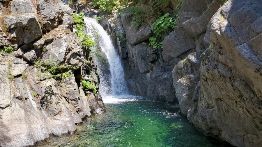
1. American Canyon Creek, Hoboken Creek, Lower American Canyon Creek.
@firepotter – I don’t see any airplanes, just a couple of zebras 🙂 Take a look at the river at that spot – although I do believe it looks different now than what’s on google earth.
@Craig – OK, so there is an airplane in the satellite picture on Google Maps. But has anybody found the zebras?
8. It ends at the Auburn Lake Damn site. GM and I ran down there in 06 – past the gate, but not all the way down to the river.